Work on the Battle of the Bulge Hiking Trail continues unabated. In this blog post, I take you on a two-day exploration of a small section of the BOB Trail, which I undertook in early August. You will find out how I base myself on history and how I make certain route choices. So, no classic hiking inspiration here, but rather two days in the life of someone trying to shape a historical hiking trail. This time, I was exploring the area around Trois-Ponts once again.
As you may already have read in previous blog posts (here and here), the Battle of the Bulge Hiking Trail will be a continuous hiking route of more than 500 kilometres, based on the historical events during the Ardennes Offensive in the winter of 1944–1945. Our Ardennes formed the setting for a bloody battle between the Americans (and British) and the Germans. This two-day hike is an experiment: an attempt to find a route that is appealing because of the nature of the path, the scenery and the views, while also being historically accurate.
How do you even begin?
Well, first I divided the entire route into sections that I will explore from time to time. I do not just walk along what I think will become the final route; I also explore the immediate surroundings. The routes I walk therefore do not always seem entirely logical at first glance. In the case of this two-day hike, for example, I make an extra 4.5-kilometre loop to Ster and Parfrondruy. Any normal hiker would probably simply leave this out and cut that section short. Of course, I make this loop based on historical events. Before embarking on this exploration, I first consulted about ten sources.
It will be a long blog post, but that fits perfectly with my thought process, which I am taking you through.
But let us start at the beginning. The exploration starts at Trois-Ponts railway station. The small town occupied a strategic position, namely at the junctions of the N23, N28 and N33 (now N66, N68 and N633), with bridges over the Salm and Amblève rivers. The advance routes of the German 6th Panzer Army ran through here. Kampfgruppe Peiper, the spearhead of the 1st SS Panzer Division, had to reach Werbomont from Trois-Ponts via the N23 and then continue across relatively easy terrain to reach the Meuse. American engineers put a stop to this in time by blowing up the bridges before the Germans arrived. Trois-Ponts and its station would become the scene of fierce fighting between SS units and paratroopers of the American 82nd Airborne Division over the following weeks. The SS units would eventually be withdrawn and replaced by the 18th and 62nd Volksgrenadier Divisions.
From the station, I follow the road uphill towards Noupré. Here, the GR14 is my guiding thread for a while. I follow a familiar section along Tour Leroux, with views over Trois-Ponts, and continue through the woods in the direction of Wanne. There are still a few foxholes to be found in places, but they are limited.
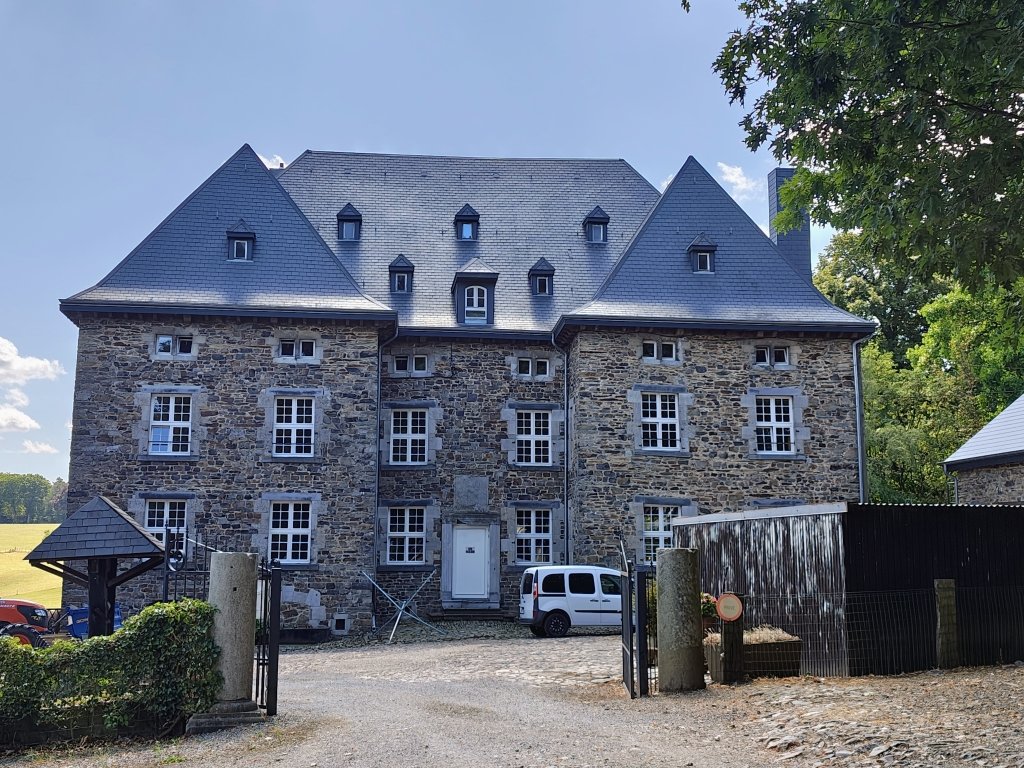
Upon arriving in Wanne, I choose to have lunch on the grassy square in the middle of the village. The 1st SS Panzer Division had established its headquarters in Wanne Castle, which lies right next to the square. Several villagers, including the forester Emile Hemroulle, were executed by the SS without hesitation. Even a young woman who crossed the street at the wrong moment in search of a better hiding place was shot dead. A monument beside the castle commemorates these victims. They are also listed on the village war memorial. Bullet impacts can still be recognised on it, because the monument had already stood there in memory of the villagers who died during the First World War.
On the other side of the roundabout, the 517th Parachute Regimental Combat Team is commemorated. This independent unit fought in the Trois-Ponts region for some time and was also involved in the liberation of the Wanne plateau. Also pay attention to the bullet impacts on the building that houses the local library.
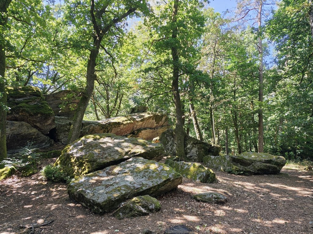
The next stop on my route is Faix du Diable. Unfortunately, I cannot use the bivouac area next to it. Due to the drought and people failing to respect the rules concerning campfires, the municipality of Trois-Ponts decided to temporarily close the bivouac area. But fighting also took place in the woods around Faix du Diable, and the path along the rock formation is enjoyable to walk.
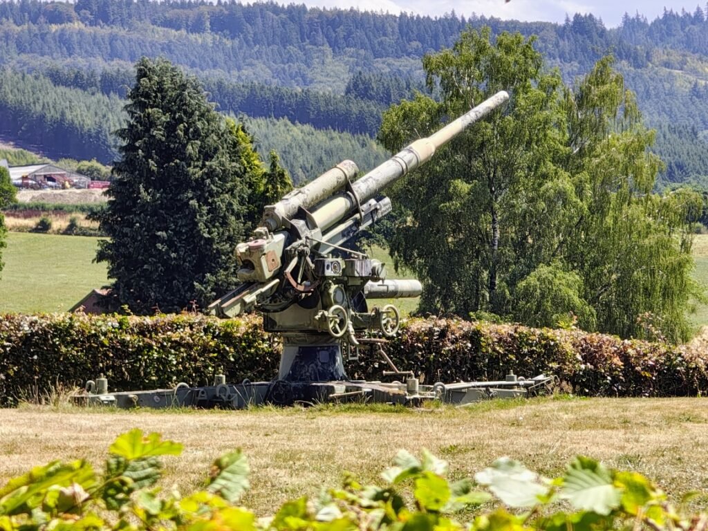
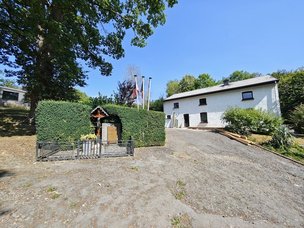
After one and a half kilometres, I emerge onto the gravel road to Spineux. This road was also used by the Germans during the war. In Spineux, there is a small monument honouring the 112th and 424th Infantry Regiments of the US Army. They helped clear the Wanne plateau in January 1945. Also take note of the private garden in which two cannons are displayed. One of them is the well-known 88 mm Flak.
It is interesting that the 112th and 424th belonged to the 28th and 106th Infantry Divisions respectively, both of which suffered heavily in Luxembourg and on the Schnee-Eifel during the opening days of the offensive. The 106th even lost two entire regiments there—two-thirds of its fighting strength—in a short battle, followed by an encirclement and ultimately captivity. The 28th Infantry Division did not fare much better. The 109th and 110th were likewise unable to stand up to the much stronger enemy with tanks. Those who could escape often did so in complete chaos.
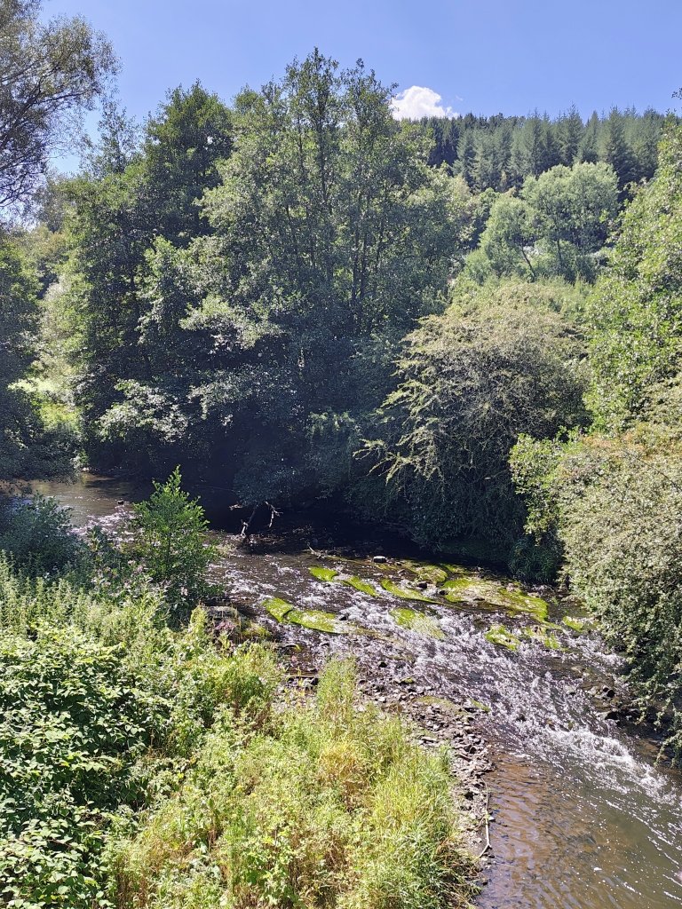
I descend to the Salm River, via the same road used by the Germans and Americans during their attacks. Although American engineers blew up the bridge before the Germans could use it, the Germans still managed to cross the Salm and reach the Fosse plateau beyond it via Rochelinval.
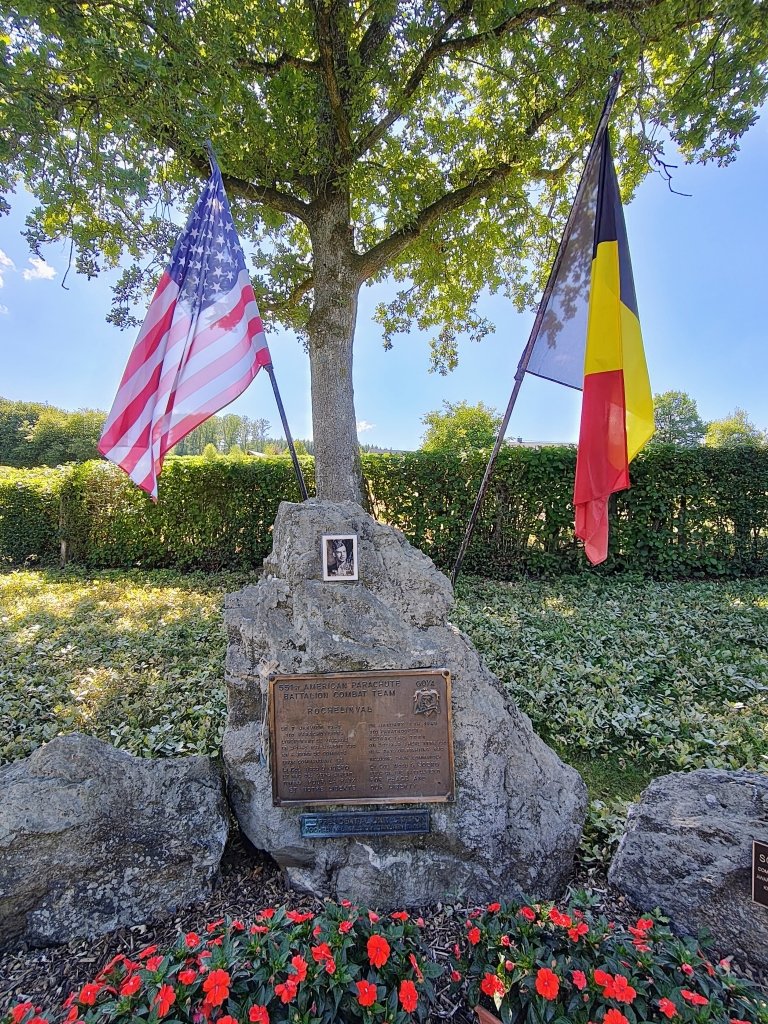
The fighting for the final liberation of Rochelinval by the Americans turned into a veritable bloodbath. The 551st Parachute Infantry Battalion, an independent battalion that was attached to the 82nd Airborne at that time, suffered such heavy losses—including its commander, Colonel Wood G. Joerg—that the battalion had to be disbanded. Of the nearly 800 men it had at the start of the Ardennes Offensive, around 85 to 90% were wounded or killed. The remaining soldiers and officers were absorbed into the 82nd Airborne Division. A monument on the climb towards the village commemorates the 551st PIB.
The walk continues along the flanks of the mountains enclosing the deep Salm valley. Historically, the asphalt route through the Tier de la Cognée forest, directly towards Bergeval, is the route I could follow. It was along there that most of the 551st launched its attack on Rochelinval on 7 January 1945. Although part of C Company of the 551st came via the forest path.
About a kilometre beyond Rochelinval, you reach the place where the remaining troops of Kampfgruppe Peiper descended from the hills on Christmas Eve to cross the Salm towards Wanne. Kampfgruppe Peiper, notorious for the war crimes it committed in the Ardennes, had quietly broken out of the encirclement at La Gleize. Via Brume, Henri-Moulin and Bergeval, and through the Fosseuhé forest, they managed to reach the Salm. Around 800 of the original 4,000 men reached the German lines at Wanne in the early morning of 25 December 1944.
The attack on Rochelinval by the 551st PIB was preceded by several days of fighting on the so-called Fosse plateau. There was heavy fighting on that plateau for the villages of Fosse, Saint-Jacques, Bergeval and Dairmont. The Germans of the 62nd Volksgrenadier Division had dug in thoroughly and put up fierce resistance, resulting in heavy losses on both sides.
I now walk along the Sunken Road, the road between Saint-Jacques and Fosse. The 551st PIB used it to take cover before their uphill attack towards Dairomont. The Germans fired on them with tanks and machine guns from Saint-Jacques, Dairomont and the surrounding woods. The Germans repelled several attacks, but a bayonet charge led by Lieutenant Durkee of the 551st was successful, resulting in many casualties on both sides. The Americans took no prisoners.
After Fosse, I follow the GR14 again for a while through the clear-cut area beneath the power lines. The same road was used by the 505th Parachute Infantry Regiment in its advance towards Amcomont and Odrimont, a little further south. At a birdwatching shelter, I turn right into the woods, descending towards the Bâleur stream. I know this route from a few years ago.
The final route of the BOB Trail will probably run somewhat differently from Bergeval, perhaps along the Rau de Mé stream and then more directly towards Trois-Ponts. Both Germans and Americans travelled along the stream. The latter, in particular, came this way in their attempt to recapture the Fosse plateau. The Germans were dug in in the woods of Hèrispèhe, so I should certainly still be able to find traces there. But for my exploration, I chose the Bâleur valley because I know it from before and thought it was quite a beautiful passage. Between Bergeval and Fosse, it is asphalt all the way, and I want to avoid that. So, the Rau de Mé after all?
Beyond the Bâleur, I arrive in Basse-Bodeux at what used to be the N23, now the N66. Behind that main road and the current N651, which branches off towards Manhay, British Field Marshal Montgomery ordered the Americans to withdraw in order to straighten the front line. From 20 December onwards, Montgomery had been given command of all troops—including the Americans—in the northern shoulder of the Ardennes front.
Camping Plein Sud is my stop for the night.
The following morning, I first take a local walk under the name “Marche doucement, tout est vivant” (translation: walk carefully, everything is alive). It is a short, 1.5-kilometre loop walk right next to the campsite. Following drawings of living creatures, you make your way along the pleasant path. Unfortunately, due to the prolonged drought, there is no water in the stream. It has a bit of a Ninglinspo vibe, but much easier. It is certainly fun for small children, and adults will not find it boring either.
The second day of hiking is much shorter than the first, because I only have half a day available today. In the woods of Hé du Moulin, I am actually trying to find the simplest possible route. There are no scars of the war here, at least not at first glance. At one point, I have to leave the path briefly to take another, lower-lying path. A high embankment above that path makes things a little exciting. But I can hold on to the branches of a tree and slide down the steep embankment that way.
A few kilometres further on, I arrive at the cemetery high above Trois-Ponts. The bullet impacts on the small chapel are quite noticeable. There was clearly shooting back and forth between the Germans on the other side of the Amblève, in the Bois des Six Moines and near Biester, and the Americans who had taken up positions on the hill and were firing at them. Does it make sense to send hikers on the BOB Trail via the cemetery? Perhaps, because the view offers an interesting perspective on the battlefield. The road to Noupré from Trois-Ponts station, in particular, looks very impressive from here.
Upon arriving in Trois-Ponts, there are still several scars of the fighting to be seen, such as bullet impacts on buildings. The monuments on the church square also provide information about several events. For example, the memorial to Lieutenant Wertich of the 80th Airborne Anti-Aircraft Battalion. The lieutenant had taken up position with two guns on the road towards Aisomont and Wanne, at the bend near Noupré. However, their small 57 mm anti-tank guns were no match for the German tanks and overwhelming force. Four men, including Wertich, were killed. The rest managed to escape.
Another monument commemorates the many soldiers of the 505th Parachute Infantry Regiment who were killed in the fighting around Trois-Ponts. However, we must not forget the civilian population, because they too suffered terribly from the fighting and the murderous behaviour of some German units. Several civilians were murdered when the SS arrived in Trois-Ponts. The youngest was 13-year-old Michel Nicolay.
I follow the road towards Coo, but at the bridge over the Amblève I turn right onto the recently constructed footbridge. Here, you can still see a monument commemorating the civilian victims who fell along this road. The bridge, just like the one in the centre of Trois-Ponts, was blown up by American engineers to stop the German advance.
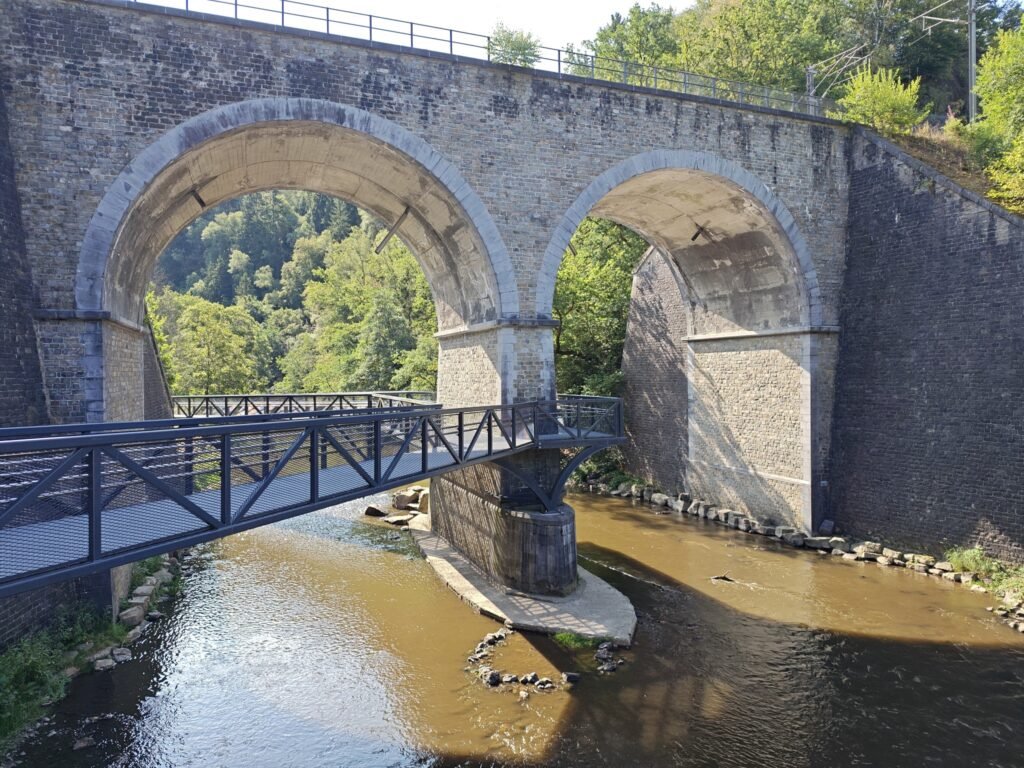
A little further on are the viaducts, the passages beneath the railway. You can reach them via the main road, but I choose the quieter rear side. I walk to the monument for four American soldiers of the 526th Armored Infantry Battalion who tried to stop Kampfgruppe Peiper’s advance with a 57 mm anti-tank gun about 200 metres beyond the viaducts on 18 December. Just like the men at Noupré, it was a suicide mission. Two elderly civilians who lived there were murdered by SS men the following day while walking in the street. The building that stood there at the time was demolished a few years ago because it had been empty for more than 30 years and was in danger of collapsing.
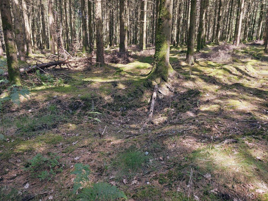
You can still see traces of bullet impacts and shrapnel in the walls of the viaducts. I take the road uphill between the two viaducts. The GRP571 also runs here. I know there are several foxholes on the slope, but I want to explore further and leave the GRP behind. I do indeed come across a few foxholes, but there must be more that I cannot immediately find. The Bois des Six Moines, where I am now, was a battlefield between the 30th Infantry Division and various German units, mainly SS.
Via the road between Coo and through the Bois des Six Moines, the reconnaissance unit of the 1st SS Panzer Division, led by Gustav Knittel, reached the villages of Ster, Parfrondruy and Renardmont. The SS men behaved atrociously there. More than 60 civilians were murdered without mercy, including a nine-month-old baby. The people responsible for all these war crimes got away with prison sentences after the war, despite a death sentence at the Malmedy trials in Dachau in 1946.
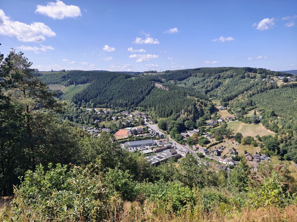
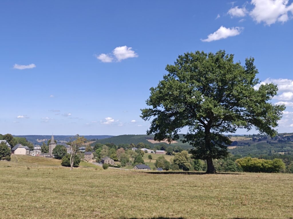
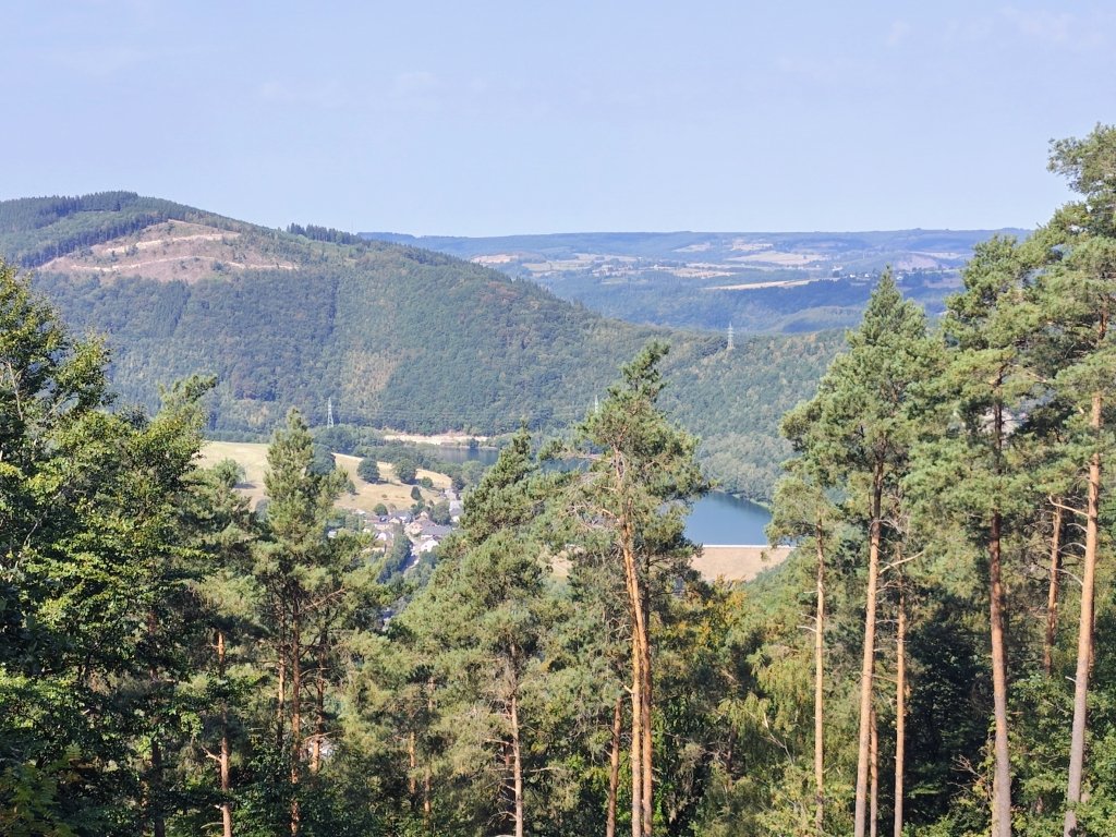
The walk takes me via the viewpoint at Ster to the village of the same name, then to Renardmont and finally to Parfrondruy. Unfortunately, the monuments to the civilian victims are barely noticeable. I now still have to weigh up whether a detour via the three villages is worthwhile or whether I should leave that section out of the final route. One of the criteria speaking against this loop is the amount of asphalt. On the other hand, there is of course the duty to commemorate the events, as well as the beautiful view of the Wanne plateau on the other side. Time will tell?
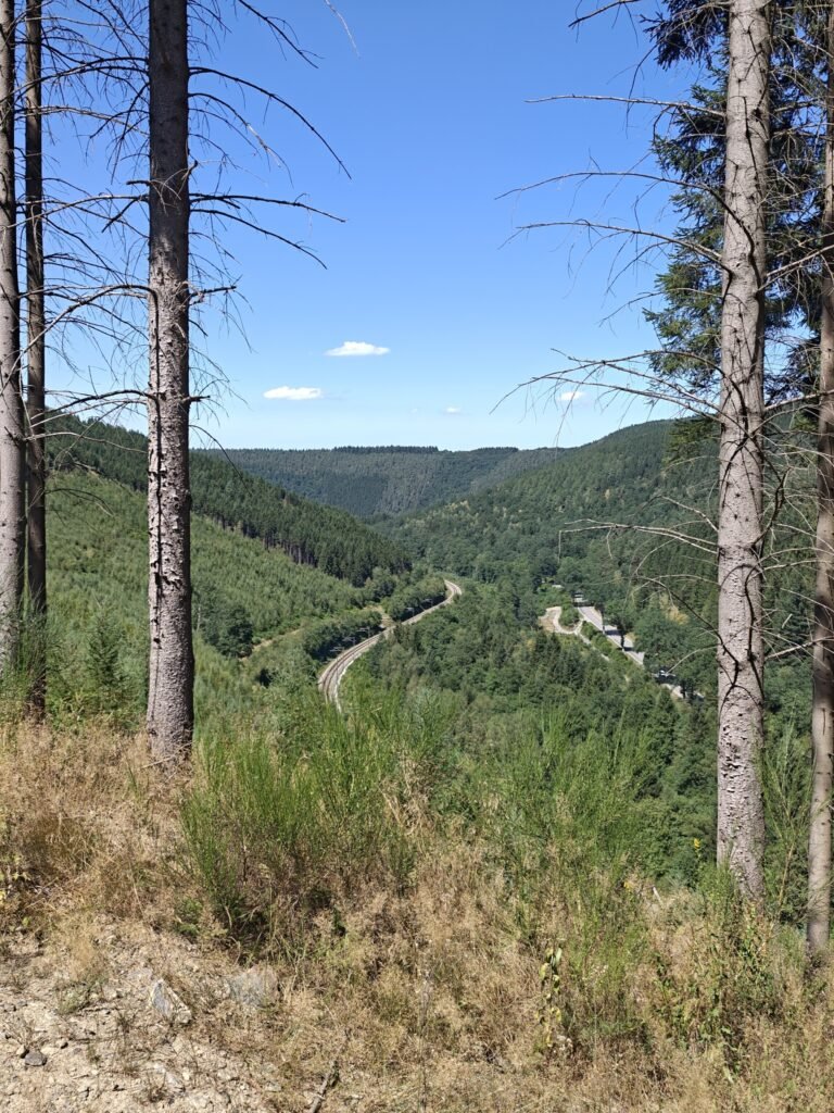
Via a narrow, steep path, I quickly reach the main road. I cross it and then briefly follow a path parallel to the road and the Amblève. At the Long Pré holiday park, I cross the footbridge over the river. I turn left, and soon the path becomes a kind of via ferrata, the Montée des cordes. It is just manageable if you use your hands as well, but too difficult with a large trekking backpack. Here, I will have to consider taking a small detour through the Grand Faye forest.
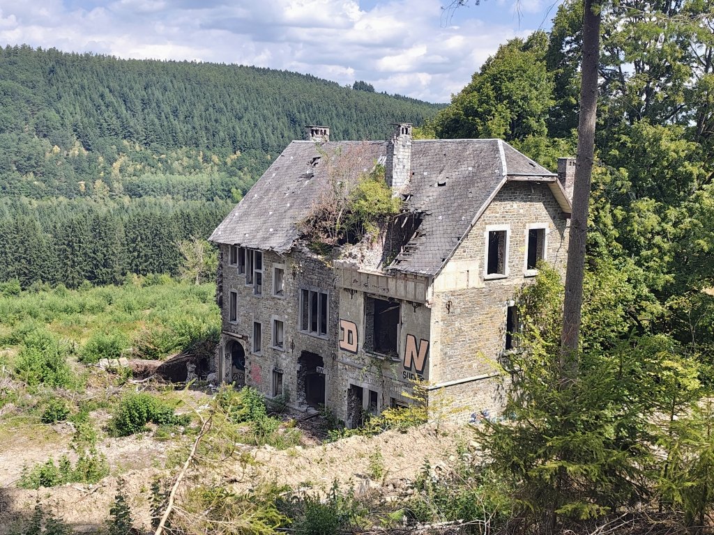
In any case, I still want to pass the ruins of the former Château de Petit-Spay, once a large country house beautifully integrated into its surroundings. During the war, children of Belgian prisoners of war were sheltered here. These children and their carers now found themselves in the eye of the storm. A priest who was part of the group was taken away by the SS and murdered a little further on. The children and the remaining carers hid in the cellars, while American artillery shells landed all around them. The SS used the building as a headquarters and hospital until they were gradually replaced by regular German infantry, the Volksgrenadiers of the 18th Division. They did have compassion for the children and arranged for them to be transported to a safer location behind the front.
Between the country house and Noupré, 11 paratroopers of the 505th Parachute Infantry Regiment were also executed by the SS in the woods on 21 December. The paratroopers were part of bazooka and mortar teams that had taken up positions at Noupré.
It feels somewhat eerie walking around the ruins of the château. But I make the most of it, because the building will probably soon be demolished. Apparently, the plan is to build an entire holiday park with 200 homes here. The trees were already cut down several months ago. Now it is a matter of waiting to see how long the ruins will remain standing.
I do not visit the Petit-Spay bridge this time. When Stavelot had become impassable due to the Americans, the SS had to use this smaller bridge over the Amblève. It collapsed on 22 December under the weight of a German tank. German engineers were also unable to build a new bridge, because the location was constantly shelled by American artillery. A little further upstream, at the mouth of the Rau de Parfondruy, the Germans did find a ford for their vehicles.
Via the access road to the château, I reach the road between Trois-Ponts/Noupré and Aismont/Wanne. I follow the road towards Trois-Ponts, looking for foxholes in the woods, just before the bend where Wertich’s anti-tank guns were positioned. And indeed, I find a few more foxholes. When the Germans arrived, several Americans were still able to escape by scrambling down the rock face towards the rear of Trois-Ponts station.
Not much later, I am at the station for the journey home.
What are the next steps?
The notes I made during this two-day hike will be digitised. I keep track of all my comments, findings and historical locations. I am also already thinking about possible alternative routes. Of course, I had already consulted quite a lot of literature about this section of the front for this hike. That helps make the exploration a little more focused.
Although I am by no means completely satisfied with the route I chose. So, I will certainly still have some work to do before a definitive version of the route is ready.